Pembrokeshire Coast
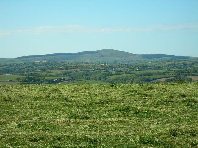
Britain’s only predominantly coastal national park: 186 miles of cliff, beach and island scenery followed end to end by the Pembrokeshire Coast Path National Trail. Inland, the Preseli Hills — source of the Stonehenge bluestones — rise to Foel Cwmcerwyn (536.5 m).

- Country
- Wales
- Area
- 620 km²
- Designated
- 1952
- Listed hills
- 1
- Highest listed hill
- Foel Cwmcerwyn 536.5 m
Access in this park
Access is mainly on the coast path and the rights-of-way network, with CRoW open access land on the Preseli Hills and some commons. Wild camping needs the landowner’s permission, as everywhere in Wales.
Conditional Right to roam (Wales): Right to roam only on mapped CRoW open access land.
Permission needed Wild camping (Wales): Permission needed everywhere.
Designation as a park creates no right of access in itself — the law of Wales applies inside the boundary, and park byelaws, seasonal restrictions and closures can override the general position. This is general information, not legal advice. Full detail:access rights in Wales ·check a specific grid reference.
The one listed hill in the park
The single summit from our hill dataset whose summit point falls inside the park boundary. Follow a name for its full record, live summit weather and daylight times.
| # | Hill | Height | Classifications | Grid ref |
|---|---|---|---|---|
| 1 | Foel Cwmcerwyn | 536.5 m | Historic County TopCurrent County/UA TopMarilyn+2 | SN094311 |
Hill data from the Database of British & Irish Hills v18.3 (CC BY 4.0); park boundaries from the Office for National Statistics (OGL v3.0). Hills are assigned to a park by summit position, so a top just outside the boundary will not appear here even if the walk starts inside it.
Long-distance paths through Pembrokeshire Coast
2 waymarked long-distance routes cross the park boundary. Distances are for the whole route, not just the section inside the park.
| Route | Total length | Countries |
|---|---|---|
| Pembrokeshire Coast PathNational Trail | 286 km · 177 mi | Wales |
| Landsker Borderlands Trail | 90 km · 56 mi | Wales |
Route lines © OpenStreetMap contributors (ODbL); park crossings computed by OpenFell against the ONS park boundary. See all UK long-distance paths.
Plan a walk here
- Walking-time calculator — Naismith with terrain and fitness corrections.
- Daylight safety planner — set your turnaround against sunset.
- Access checker — what a specific grid reference allows.
- Access rights in Wales — roaming, paths, camping and dogs in detail.
- Safety notes — conditions change fast; build in margin.