Fan Nedd
3 classifications here — Marilyn, HuMP and Simm — belong to lists OpenFell holds only part of, so they have no list page. See how far the coverage goes.

- Height
- 663 m · 2,175 ft
- Prominence
- 174 m
- Grid reference
- SN 91335 18413
- Coordinates
- 51.85366, -3.57919
- County / area
- Powys
- Region
- Llandovery to Monmouth
- OS Landranger
- 160
- OS Explorer
- OL12E
- Summit feature
- trig point
- Key col
- SN904192 (489 m)
About Fan Nedd
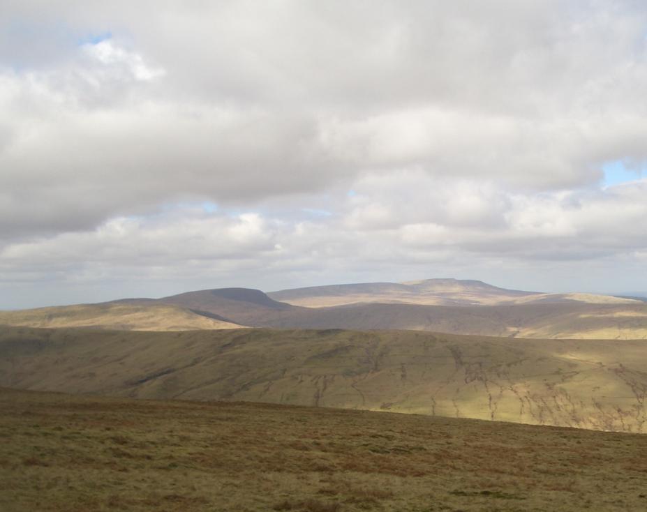
Fan Nedd is a broad, flat-topped ridge in the Fforest Fawr uplands of the Bannau Brycheiniog National Park, within Powys. A trig point crowns the 663 m summit, a modern cairn stands at the northern end of the plateau, and a couple of ancient cairns lie on the eastern slopes.
The southern ridge rises at the gentlest angle; the northern aspect is steep and craggy and held a small glacier during the last ice age. That north face looks down on the deep glacial hollow of Blaen Senni, drained by the Afon Senni into the Usk.
Streams on the west run into the Nedd Fechan and those on the east into the upper Afon Llia, both eventually reaching the sea at Swansea Bay by way of the River Neath.
Background written from facts in the Wikipedia article on Fan Nedd (CC BY-SA 4.0). Heights, prominence and grid references come from the Database of British & Irish Hills, not from Wikipedia.
Access rights here
Conditional Right to roam: Right to roam only on mapped CRoW open access land.
Permission needed Wild camping: Permission needed everywhere.
General position for Wales — local byelaws, seasonal restrictions and closures can override it. Full details: access rights in Wales ·check another location.
Daylight at this summit today
- Sunrise
- —
- Sunset
- —
- Daylight
- —
- Civil twilight ends
- —
Computed astronomically for 51.854, -3.579. Plan your finish with the daylight safety planner.
Summit weather live
Loading forecast for the summit (663 m)…
Forecast adjusted to summit altitude. Weather data from MET Norway (CC BY 4.0).
Long-distance paths past this hill
One waymarked long-distance route runs within 2.5 km of the summit — useful if you are linking this hill into a longer walk, or want a made path for the approach.
| Route | Total length | From summit |
|---|---|---|
| Beacons Way | 155 km | 2 km |
Route lines © OpenStreetMap contributors (ODbL); distance from the summit computed by OpenFell.
Get food nearby
3 places to eat or drink within 10 km of the summit, rated under the Food Hygiene Rating Scheme (Scotland runs its own Food Hygiene Information Scheme, a pass/fail equivalent).
| Place | Type | Rating | Distance |
|---|---|---|---|
| Tafarn-y-Garreg | Pub/bar/nightclub | 5 out of 5 | 6.3 km · W |
| Storey Arms Outdoor Education Centre | Hotel/bed & breakfast/guest house | 5 out of 5 | 7.2 km · E |
| The Morgan Brothers' Coffee Shop | Restaurant/Cafe/Canteen | 5 out of 5 | 7.6 km · W |
Classifications and ratings are the local authority's own and can be coarse — this is a lead, not a guarantee of opening hours or that food is served to non-residents. Follow a name through to the official rating page to check, and confirm before you rely on it.
Food hygiene data from the Food Standards Agency and Food Standards Scotland (Open Government Licence v3.0). Distances and directions computed by OpenFell from the summit.
Nearest listed peaks
| Peak | Height | Distance |
|---|---|---|
| Yr Allt | 605.2 m | 1.8 km |
| Fan Llia | 631.9 m | 2.5 km |
| Fan Fraith | 668 m | 2.6 km |
| Fan Gyhirych | 726.1 m | 3.3 km |
| Carreg Cadno | 538 m | 4.5 km |
| Fan Fawr | 734 m | 5.7 km |