Beinn nan Eun
2 classifications here — HuMP and Simm — belong to lists OpenFell holds only part of, so they have no list page. See how far the coverage goes.
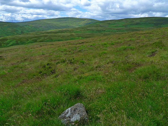

- Height
- 631 m · 2,070 ft
- Prominence
- 142 m
- Grid reference
- NN 72361 13108
- Coordinates
- 56.29324, -4.06393
- County / area
- Perth and Kinross
- OS Landranger
- 57
- OS Explorer
- OL47W 368W
- Summit feature
- no feature: flat heather moorland
- Key col
- NN707118 (489 m)
About Beinn nan Eun
Beinn nan Eun belongs to the Glen Artney Hills, immediately south of the Highland Boundary Fault and therefore within the Central Lowlands. An impressive crag drops away from its eastern side.
It is the second-highest hill of the range, and unlike its neighbour Uamh Bheag it does not touch the Stirlingshire boundary. Ascents usually start in Glen Artney to the north and link the neighbouring hills, commonly anti-clockwise with this summit left until last.
Background written from facts in the Wikipedia article on Beinn nan Eun (Perth and Kinross) (CC BY-SA 4.0). Heights, prominence and grid references come from the Database of British & Irish Hills, not from Wikipedia.
Access rights here
Yes Right to roam: Statutory right of responsible access to most land and inland water.
Yes Wild camping: Wild camping is broadly lawful under the 2003 Act.
General position for Scotland — local byelaws, seasonal restrictions and closures can override it. Full details: access rights in Scotland ·check another location.
Daylight at this summit today
- Sunrise
- —
- Sunset
- —
- Daylight
- —
- Civil twilight ends
- —
Computed astronomically for 56.293, -4.064. Plan your finish with the daylight safety planner.
Summit weather live
Loading forecast for the summit (631 m)…
Forecast adjusted to summit altitude. Weather data from MET Norway (CC BY 4.0).
Finding the summit
c.25m NW of single fence post.
The recorded summit point is no feature: flat heather moorland. That distinction matters on broad or flat tops, where the obvious cairn is not always the true high point.
- Survey method
- Abney level
- Record revised
- 12-May-25
- Drop measured from
- NN707118 · 489 m
Classification history: Submarilyn status removed in May 2025 following redefinition by list author.
Survey notes are field observations recorded in the Database of British & Irish Hills (v18.3, CC BY 4.0) by the hill-surveying community.
Which hill this one belongs to
Beinn nan Eun is not counted as an independent hill in its own right. In prominence terms it belongs to Uamh Bheag (666 m) — the nearest Marilyn you can reach from this summit without first dropping below its key col, 489 m.
Grouping is by prominence alone: a summit belongs to the nearest higher Marilyn it connects to without a deeper intervening col. Over a large massif that can gather hills no one would walk in a single day, and which few would describe as parts of the same mountain — it is a measure of independence, not a suggested route.
Nearest listed peaks
| Peak | Height | Distance |
|---|---|---|
| Uamh Bheag | 665.8 m | 3.5 km |
| Creag na h-Eararuidh | 708.3 m | 7 km |
| Mor Bheinn | 640.3 m | 8.1 km |
| Meall na Fearna | 810 m | 9.1 km |
| Ben Vorlich | 985.3 m | 11.1 km |
| Stuc a' Chroin | 973 m | 11.4 km |