Corserine
3 classifications here — Marilyn, HuMP and Simm — belong to lists OpenFell holds only part of, so they have no list page. See how far the coverage goes.
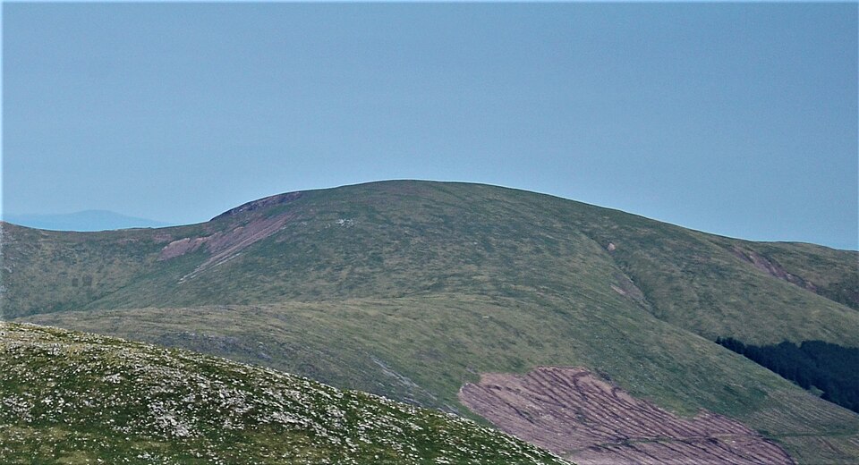

- Height
- 814 m · 2,671 ft
- Prominence
- 488 m
- Grid reference
- NX 49785 87065
- Coordinates
- 55.15508, -4.35911
- County / area
- Dumfries and Galloway
- Region
- Carrick and Galloway
- OS Landranger
- 77
- OS Explorer
- 318
- Summit feature
- trig point
- Key col
- NX467854 (326 m)
About Corserine
Corserine crowns the Rhinns of Kells, a sub-range of the Galloway Hills within the Southern Uplands, and stands as the highest point of that range as well as the second highest in Galloway.
The Gaelic form, A' Chroisrinn, records a quirk of its shape: while the Rhinns of Kells run broadly north to south, Corserine's own summit ridge lies east to west, so the hill was read as sitting across the range. Approaches commonly begin at the Forrest Lodge car park on the eastern side, taking in Loch Harrow and North Gairy Top.
Background written from facts in the Wikipedia article on Corserine (CC BY-SA 4.0). Heights, prominence and grid references come from the Database of British & Irish Hills, not from Wikipedia.
Access rights here
Yes Right to roam: Statutory right of responsible access to most land and inland water.
Yes Wild camping: Wild camping is broadly lawful under the 2003 Act.
General position for Scotland — local byelaws, seasonal restrictions and closures can override it. Full details: access rights in Scotland ·check another location.
Daylight at this summit today
- Sunrise
- —
- Sunset
- —
- Daylight
- —
- Civil twilight ends
- —
Computed astronomically for 55.155, -4.359. Plan your finish with the daylight safety planner.
Summit weather live
Loading forecast for the summit (814 m)…
Forecast adjusted to summit altitude. Weather data from MET Norway (CC BY 4.0).
The Corserine group
6 other listed summits sit in the same prominence group, with Corserine as the independent hill at its head.
| Summit | Height | Drop |
|---|---|---|
| Carlin's Cairn | 807 m | 99 m |
| Meikle Millyea | 749 m | 121 m |
| Milldown | 738 m | 90 m |
| Meaul | 695 m | 74 m |
| Cairnsgarroch | 659 m | 105 m |
| Coran of Portmark | 623 m | 61 m |
Grouping is by prominence alone: a summit belongs to the nearest higher Marilyn it connects to without a deeper intervening col. Over a large massif that can gather hills no one would walk in a single day, and which few would describe as parts of the same mountain — it is a measure of independence, not a suggested route.
Nearest listed peaks
| Peak | Height | Distance |
|---|---|---|
| Carlin's Cairn | 807 m | 1.3 km |
| Milldown | 738 m | 3.4 km |
| Meaul | 695 m | 3.9 km |
| Dungeon Hill | 620.9 m | 4.2 km |
| Mullwharchar | 692 m | 4.4 km |
| Cairnsgarroch | 659 m | 4.6 km |