Boulsworth Hill - Lad Law
2 classifications here — Marilyn and HuMP — belong to lists OpenFell holds only part of, so they have no list page. See how far the coverage goes.

- Height
- 517.7 m · 1,698 ft
- Prominence
- 335 m
- Grid reference
- SD 92971 35632
- Coordinates
- 53.81692, -2.10825
- County / area
- Lancashire
- OS Landranger
- 103
- OS Explorer
- OL21N
- Summit feature
- large boulder 4m SW of trig point
- Key col
- SD946190 (183 m)
About Boulsworth Hill - Lad Law
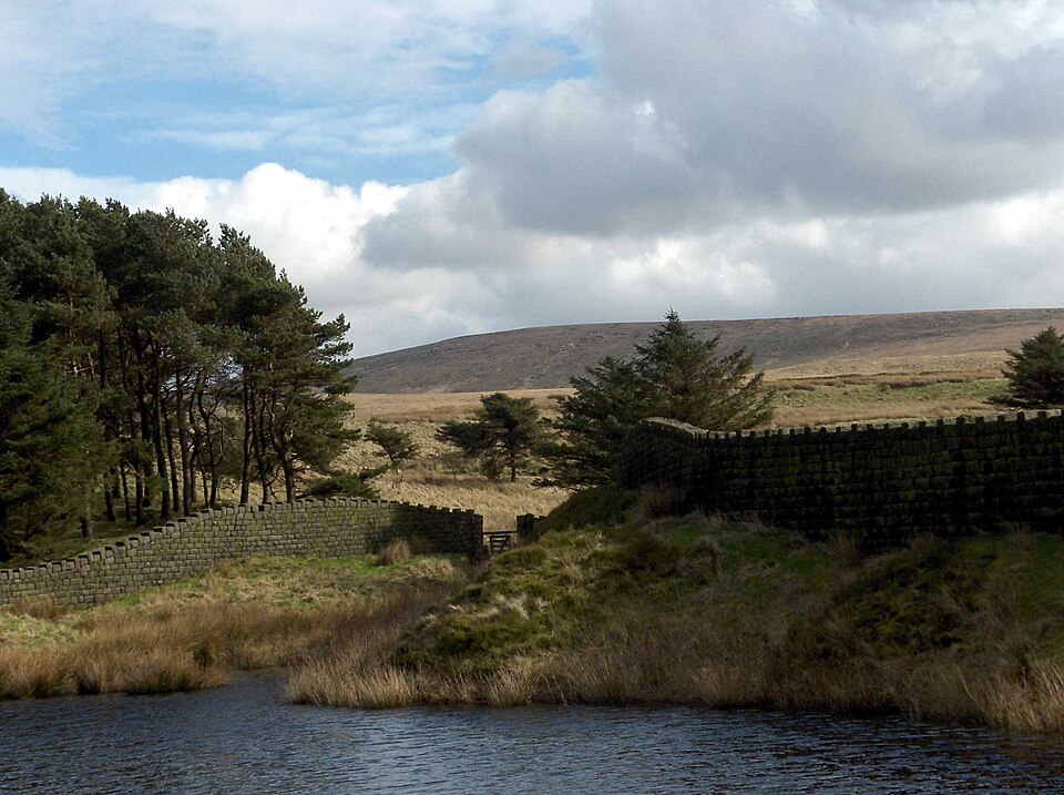
Boulsworth Hill is a large expanse of moorland forming the highest point of the South Pennines in south-eastern Lancashire, England, separating the Borough of Pendle from Calderdale. Its summit, Lad Law, commands views over Pendle Hill, the Forest of Bowland, the Yorkshire Dales and the South Pennines; on an exceptionally clear day the panorama can take in Scafell Pike and Helvellyn to the north, Ferrybridge power station to the east, the High Peak to the south and the Big One roller coaster at Blackpool Pleasure Beach to the west.
The Brontë Way and the Pendle Way both pass along the hill's slopes, providing routes of ascent from Nelson and Wycoller, and a further possibility is to climb from Trawden, the nearest town to the summit. Boulsworth Hill was originally intended to be a highlight of the Pennine Way, which instead passes to its east, and since the CRoW Act it can also legally be climbed from the Yorkshire side, near Hebden Bridge.
The underlying rock is Millstone Grit, which outcrops in several places and forms a steep scarp face along the summit. The hill's covering of acidic grassland provides a valuable breeding ground for red grouse, twite, golden plover and other birds.
Background written from facts in the Wikipedia article on Boulsworth Hill (CC BY-SA 4.0). Heights, prominence and grid references come from the Database of British & Irish Hills, not from Wikipedia.
Access rights here
Conditional Right to roam: Right to roam only on mapped CRoW open access land.
Permission needed Wild camping: Needs the landowner's permission — the Dartmoor commons are the only exception in England.
General position for England — local byelaws, seasonal restrictions and closures can override it. Full details: access rights in England ·check another location.
Daylight at this summit today
- Sunrise
- —
- Sunset
- —
- Daylight
- —
- Civil twilight ends
- —
Computed astronomically for 53.817, -2.108. Plan your finish with the daylight safety planner.
Summit weather live
Loading forecast for the summit (518 m)…
Forecast adjusted to summit altitude. Weather data from MET Norway (CC BY 4.0).
Finding the summit
rock 130m SW at SD 92909 35518 is 0.2m lower. Rocks at SD 92894 35553 and SD 92951 35615 are both 0.4m lower.
The recorded summit point is large boulder 4m SW of trig point. That distinction matters on broad or flat tops, where the obvious cairn is not always the true high point.
- Survey method
- Abney level
- Record revised
- 21-Jul-24
- Drop measured from
- SD946190 · 183 m
Survey notes are field observations recorded in the Database of British & Irish Hills (v18.3, CC BY 4.0) by the hill-surveying community.
Get food nearby
3 places to eat or drink within 10 km of the summit, rated under the Food Hygiene Rating Scheme (Scotland runs its own Food Hygiene Information Scheme, a pass/fail equivalent).
| Place | Type | Rating | Distance |
|---|---|---|---|
| White Lee Head Club | Pub/bar/nightclub | 5 out of 5 | 3.3 km · NW |
| Jackie & Francesca Old Rock Cafe And Cake Shop | Restaurant/Cafe/Canteen | 5 out of 5 | 3.8 km · NW |
| The HAPPA Cafe | Restaurant/Cafe/Canteen | 5 out of 5 | 4.5 km · W |
Classifications and ratings are the local authority's own and can be coarse — this is a lead, not a guarantee of opening hours or that food is served to non-residents. Follow a name through to the official rating page to check, and confirm before you rely on it.
Food hygiene data from the Food Standards Agency and Food Standards Scotland (Open Government Licence v3.0). Distances and directions computed by OpenFell from the summit.
Nearest listed peaks
| Peak | Height | Distance |
|---|---|---|
| Pendle Hill | 557 m | 13.7 km |
| Cracoe Fell | 507.8 m | 24 km |
| Rye Loaf Hill | 547 m | 28.4 km |
| Kirkby Fell | 546.4 m | 28.4 km |
| Grizedales | 553 m | 29.3 km |