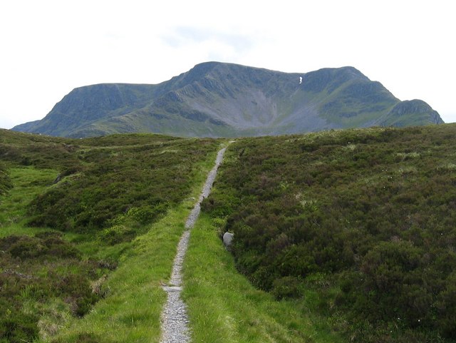
Ben Alder
5 classifications here — Trail 100, Marilyn, HuMP, Simm and Murdo — belong to lists OpenFell holds only part of, so they have no list page. See how far the coverage goes.

- Height
- 1148 m · 3,766 ft
- Prominence
- 783 m
- Grid reference
- NN 49619 71846
- Coordinates
- 56.81380, -4.46509
- County / area
- Highland
- OS Landranger
- 42
- OS Explorer
- OL50 385E 393
- Summit feature
- trig point
- Key col
- NN262668 (365 m)
About Ben Alder
Ben Alder is the highest mountain in the remote country between Loch Ericht and Glen Spean, and the 25th highest Munro. Its extensive summit plateau holds Lochan a' Garbh Coire, one of the highest standing waters in Britain.
The north-east corrie is of particular interest. At around 1,030 m a narrow band of metamorphosed Kinlochlaggan Limestone is exposed alongside a dark epidiorite sill, forming a small pale cliff with ledges, runnels and sinkholes. The juxtaposition of calcium-rich 'sugar' limestone with igneous rock, set among schists and quartzites, produces a tight mosaic of substrates and microhabitats. The result is one of Britain's richest montane limestone lichen floras — over 100 species, many of them nationally rare, recorded within roughly a hectare, and reckoned second only to Ben Lawers.
Background written from facts in the Wikipedia article on Ben Alder (CC BY-SA 4.0). Heights, prominence and grid references come from the Database of British & Irish Hills, not from Wikipedia.
Access rights here
Yes Right to roam: Statutory right of responsible access to most land and inland water.
Yes Wild camping: Wild camping is broadly lawful under the 2003 Act.
General position for Scotland — local byelaws, seasonal restrictions and closures can override it. Full details: access rights in Scotland ·check another location.
Daylight at this summit today
- Sunrise
- —
- Sunset
- —
- Daylight
- —
- Civil twilight ends
- —
Computed astronomically for 56.814, -4.465. Plan your finish with the daylight safety planner.
Summit weather live
Loading forecast for the summit (1148 m)…
Forecast adjusted to summit altitude. Weather data from MET Norway (CC BY 4.0).
Finding the summit
cairn 15m E at NN 49633 71847 may be as high.
The recorded summit point is trig point. That distinction matters on broad or flat tops, where the obvious cairn is not always the true high point.
- Record revised
- 28-Oct-01
- Drop measured from
- NN262668 · 365 m
Survey notes are field observations recorded in the Database of British & Irish Hills (v18.3, CC BY 4.0) by the hill-surveying community.
Nearest listed peaks
| Peak | Height | Distance |
|---|---|---|
| Beinn Bheoil | 1019 m | 2.1 km |
| Sron Coire na h-Iolaire | 956 m | 2.2 km |
| Sgor Iutharn | 1028 m | 2.6 km |
| Geal-charn | 1132 m | 3.8 km |
| Diollaid a' Chairn | 925 m | 4 km |
| Aonach Beag | 1115.8 m | 4.5 km |