Am Faochagach
4 classifications here — Marilyn, HuMP, Simm and Murdo — belong to lists OpenFell holds only part of, so they have no list page. See how far the coverage goes.

- Height
- 953 m · 3,127 ft
- Prominence
- 367 m
- Grid reference
- NH 30364 79360
- Coordinates
- 57.77180, -4.85388
- County / area
- Highland
- OS Landranger
- 20
- OS Explorer
- 436N 436S
- Summit feature
- cairn
- Key col
- NH293823 (586 m)
About Am Faochagach
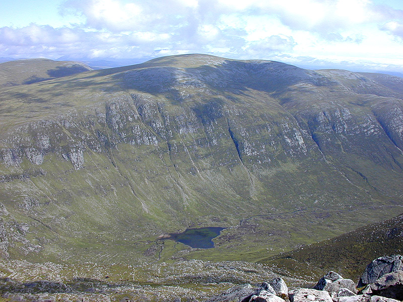
Am Faochagach is a rounded summit in Wester Ross, north of the main road to Ullapool.
Its difficulty lies mostly in getting there rather than in the hill itself: the ground between road and mountain is moorland and bog, and a river crossing stands in the way. The climb beyond is a simpler matter.
Background written from facts in the Wikipedia article on Am Faochagach (CC BY-SA 4.0). Heights, prominence and grid references come from the Database of British & Irish Hills, not from Wikipedia.
Access rights here
Yes Right to roam: Statutory right of responsible access to most land and inland water.
Yes Wild camping: Wild camping is broadly lawful under the 2003 Act.
General position for Scotland — local byelaws, seasonal restrictions and closures can override it. Full details: access rights in Scotland ·check another location.
Daylight at this summit today
- Sunrise
- —
- Sunset
- —
- Daylight
- —
- Civil twilight ends
- —
Computed astronomically for 57.772, -4.854. Plan your finish with the daylight safety planner.
Summit weather live
Loading forecast for the summit (953 m)…
Forecast adjusted to summit altitude. Weather data from MET Norway (CC BY 4.0).
Nearest listed peaks
| Peak | Height | Distance |
|---|---|---|
| Cona' Mheall | 977.8 m | 3.6 km |
| Beinn Dearg | 1084 m | 4.8 km |
| Meall nan Ceapraichean | 976.8 m | 5.6 km |
| Ceann Garbh | 967.1 m | 5.7 km |
| Meall a' Chaorainn | 632 m | 6.5 km |
| Eididh nan Clach Geala | 927 m | 6.6 km |