Beinn Dearg
4 classifications here — Marilyn, HuMP, Simm and Murdo — belong to lists OpenFell holds only part of, so they have no list page. See how far the coverage goes.
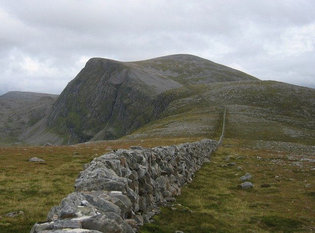

- Height
- 1084 m · 3,556 ft
- Prominence
- 810 m
- Grid reference
- NH 25935 81171
- Coordinates
- 57.78635, -4.92956
- County / area
- Highland
- OS Landranger
- 20
- OS Explorer
- 436N
- Summit feature
- large cairn
- Key col
- NH 2730 7444 (274.2 m)
About Beinn Dearg
Beinn Dearg above Inverlael is one of several Scottish hills carrying the name. It stands at the head of Loch Broom, with Gleann na Sguaib and the River Lael leading up towards a bealach about a kilometre north of the summit.
From that bealach walkers commonly continue over Cona' Mheall and Meall na Ceapraichean, adding Eididh nan Clach Geala some three kilometres north to make a round of four Munros. Storms in early 2005 brought down many trees in Inverlael Forest and for a time all but blocked the usual line of approach.
The hill is designated a Special Protection Area, covering woodland, mire, open water, dwarf-shrub heath and cliffs.
Background written from facts in the Wikipedia article on Beinn Dearg (Ullapool) (CC BY-SA 4.0). Heights, prominence and grid references come from the Database of British & Irish Hills, not from Wikipedia.
Access rights here
Yes Right to roam: Statutory right of responsible access to most land and inland water.
Yes Wild camping: Wild camping is broadly lawful under the 2003 Act.
General position for Scotland — local byelaws, seasonal restrictions and closures can override it. Full details: access rights in Scotland ·check another location.
Daylight at this summit today
- Sunrise
- —
- Sunset
- —
- Daylight
- —
- Civil twilight ends
- —
Computed astronomically for 57.786, -4.930. Plan your finish with the daylight safety planner.
Summit weather live
Loading forecast for the summit (1084 m)…
Forecast adjusted to summit altitude. Weather data from MET Norway (CC BY 4.0).
The Beinn Dearg group
2 other listed summits sit in the same prominence group, with Beinn Dearg as the independent hill at its head.
| Summit | Height | Drop |
|---|---|---|
| Meall nan Ceapraichean | 977 m | 127 m |
| Ceann Garbh | 967 m | 21 m |
Grouping is by prominence alone: a summit belongs to the nearest higher Marilyn it connects to without a deeper intervening col. Over a large massif that can gather hills no one would walk in a single day, and which few would describe as parts of the same mountain — it is a measure of independence, not a suggested route.
Nearest listed peaks
| Peak | Height | Distance |
|---|---|---|
| Meall nan Ceapraichean | 976.8 m | 1.4 km |
| Cona' Mheall | 977.8 m | 1.6 km |
| Ceann Garbh | 967.1 m | 1.9 km |
| Eididh nan Clach Geala | 927 m | 3 km |
| Beinn Enaiglair | 890 m | 3.5 km |
| Meall Doire Faid | 728.8 m | 4.3 km |