Ben More
5 classifications here — Trail 100, Marilyn, HuMP, Simm and Murdo — belong to lists OpenFell holds only part of, so they have no list page. See how far the coverage goes.

- Height
- 966 m · 3,169 ft
- Prominence
- 966 m
- Grid reference
- NM 52583 33069
- Coordinates
- 56.42483, -6.01400
- County / area
- Argyll and Bute
- Region
- Mull and Nearby Islands
- OS Landranger
- 47 48
- OS Explorer
- 375W
- Summit feature
- OS rivet in centre of large stone shelter
About Ben More
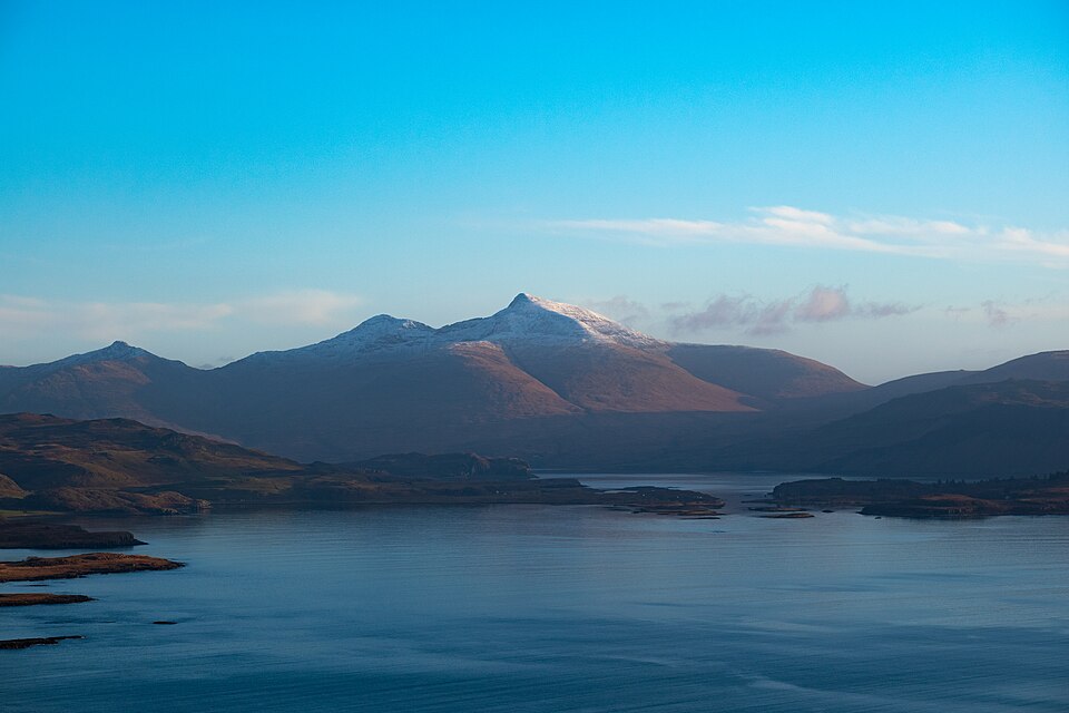
Ben More, Beinn Mhor or great mountain, is the high point of the Isle of Mull and its only Munro. Beyond Skye it is the only Munro anywhere in the Scottish isles, and the highest peak among them.
It stands near the middle of the island, above the shores of Loch na Keal.
Background written from facts in the Wikipedia article on Ben More (Mull) (CC BY-SA 4.0). Heights, prominence and grid references come from the Database of British & Irish Hills, not from Wikipedia.
Access rights here
Yes Right to roam: Statutory right of responsible access to most land and inland water.
Yes Wild camping: Wild camping is broadly lawful under the 2003 Act.
General position for Scotland — local byelaws, seasonal restrictions and closures can override it. Full details: access rights in Scotland ·check another location.
Daylight at this summit today
- Sunrise
- —
- Sunset
- —
- Daylight
- —
- Civil twilight ends
- —
Computed astronomically for 56.425, -6.014. Plan your finish with the daylight safety planner.
Summit weather live
Loading forecast for the summit (966 m)…
Forecast adjusted to summit altitude. Weather data from MET Norway (CC BY 4.0).
Nearest listed peaks
| Peak | Height | Distance |
|---|---|---|
| Beinn Fhada | 702 m | 2.3 km |
| Corra-bheinn | 704.8 m | 4.8 km |
| Cruach Choireadail | 618 m | 7.3 km |
| Ben Buie | 718.1 m | 9.8 km |
| Beinn Talaidh | 761.6 m | 10.1 km |
| Creach-Beinn | 698.7 m | 12.9 km |